Col des Rangiers
Switzerland · Jura
856m
Key Facts
- Elevation
- 856m
- Route length
- 22 km
- Max gradient
- 8%
- Hairpins
- 2
- Driving difficulty
- Moderate (2/5)
- Surface
- Good
- Open
- Year-round
Route & Map
Loading map
Route
SDelémont
22 km · max 8%
▲Col des Rangiers (856m)
Descent
EPorrentruy
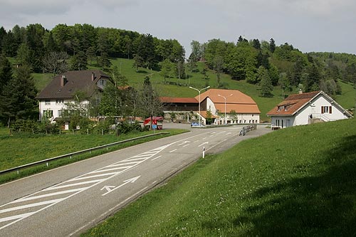
Jura pass connecting Delémont with Porrentruy in the canton of Jura. Flowing curves popular with motorcyclists. Features the historic Sentinelle des Rangiers monument site.
Weather & Conditions
Driving Experience
Elevation Profile
↑533m gain
↓523m loss
432m → 862m → 442m
Difficulty
Moderate
2/5 — car driving difficulty
Based on steepness, elevation gain, hairpins, road length & surface quality
Hairpin Turns
2
A few tight turns to keep it interesting
When to Drive
Year-round (best: July - September)
- ›Open year-round, though winter conditions may require snow equipment.
- ›Morning hours offer the best driving conditions with less traffic.
Coordinates
- Summit
- 47.3848°N, 7.2192°E
- Start (Delémont)
- 47.3658°N, 7.3445°E
- End (Porrentruy)
- 47.4153°N, 7.0752°E
#jura#year-round#motorcycling
Explore More
Image: Roland Zumbühl (Picswiss), Arlesheim (Commons:Picswiss project) / CC BY-SA 3.0