Col des Planches
Switzerland · Valais
1,411m
Key Facts
- Elevation
- 1,411m
- Route length
- 12 km
- Max gradient
- 10%
- Hairpins
- 4
- Driving difficulty
- Moderate (2/5)
- Surface
- Good
- Open
- Year-round
Route & Map
Loading map
Route
SMartigny
12 km · max 10%
▲Col des Planches (1,411m)
Descent
ESembrancher
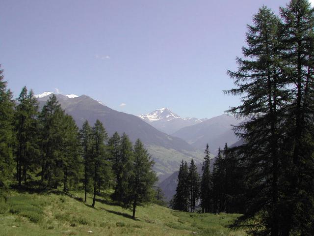
Small pass connecting Martigny-Combe with Sembrancher in the Val d'Entremont. Alternative to the main Entremont valley road. Quiet road through vineyards and pastures.
Weather & Conditions
Driving Experience
Elevation Profile
↑559m gain
↓318m loss
475m → 716m → 716m
Difficulty
Moderate
2/5 — car driving difficulty
Based on steepness, elevation gain, hairpins, road length & surface quality
Hairpin Turns
4
A few tight turns to keep it interesting
When to Drive
Year-round (best: July - September)
- ›Open year-round, though winter conditions may require snow equipment.
- ›Morning hours offer the best driving conditions with less traffic.
Coordinates
- Summit
- 46.1181°N, 7.1394°E
- Start (Martigny)
- 46.1028°N, 7.0722°E
- End (Sembrancher)
- 46.0783°N, 7.1528°E
#quiet#vineyards#minor
Explore More
Image: Fred / CC BY-SA 3.0