Kaltenbronn Pass
Kaltenbronn (Schwarzmisspass)
Germany · Northern Black Forest (Baden-Württemberg)
933m
Key Facts
- Elevation
- 933m
- Route length
- 22 km
- Max gradient
- 10%
- Hairpins
- 9
- Driving difficulty
- Challenging (3/5)
- Surface
- Good
- Open
- Year-round
Route & Map
Loading map
Route
SGernsbach
22 km · max 10%
▲Kaltenbronn Pass (933m)
Descent
EBad Wildbad
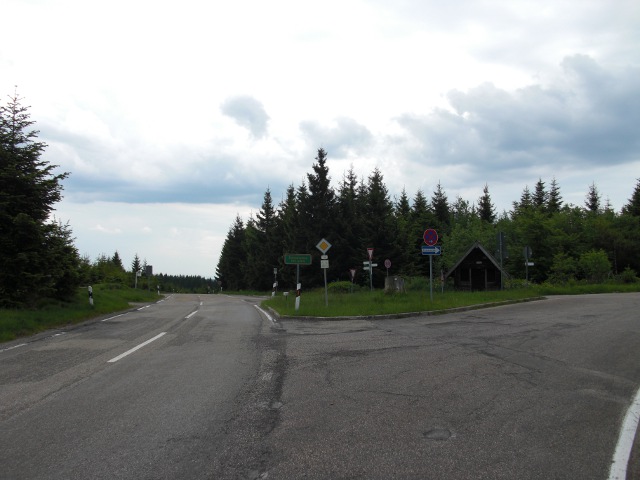
A pass at 933m between the Murg and Enz valleys near Germany's highest intact raised bog. The Hohloh observation tower at 988m offers views over the Northern Black Forest. Accessible from both Gernsbach and Bad Wildbad.
Weather & Conditions
Driving Experience
Elevation Profile
↑1,375m gain
↓1,103m loss
161m → 930m → 433m
Difficulty
Challenging
3/5 — car driving difficulty
Based on steepness, elevation gain, hairpins, road length & surface quality
Hairpin Turns
9
Plenty of switchbacks to test your line
When to Drive
Year-round (best: July - September)
- ›Open year-round, though winter conditions may require snow equipment.
- ›Morning hours offer the best driving conditions with less traffic.
Coordinates
- Summit
- 48.7241°N, 8.4308°E
- Start (Gernsbach)
- 48.7709°N, 8.3365°E
- End (Bad Wildbad)
- 48.7502°N, 8.5506°E
#scenic#black-forest#moor-landscape#nature-reserve
Explore More
Image: Ulflulfl / Public domain