Col des Mosses
Switzerland · Vaud
1,445m
Key Facts
- Elevation
- 1,445m
- Route length
- 30 km
- Max gradient
- 7%
- Hairpins
- 12
- Driving difficulty
- Challenging (3/5)
- Surface
- Good
- Open
- Year-round
Route & Map
Loading map
Route
SAigle
30 km · max 7%
▲Col des Mosses (1,445m)
Descent
EChâteau-d'Oex
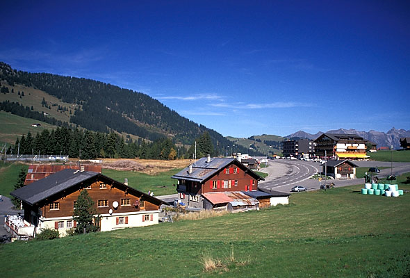
Gentle pass in the Vaud Alps connecting Aigle with Château-d'Oex. Wide open meadows at the summit. Popular for cross-country skiing in winter and cycling in summer.
Weather & Conditions
Driving Experience
Elevation Profile
↑1,329m gain
↓694m loss
421m → 1,556m → 1,056m
Difficulty
Challenging
3/5 — car driving difficulty
Based on steepness, elevation gain, hairpins, road length & surface quality
Hairpin Turns
12
Plenty of switchbacks to test your line
When to Drive
Year-round (best: July - September)
- ›Open year-round, though winter conditions may require snow equipment.
- ›Morning hours offer the best driving conditions with less traffic.
- ›The switchbacks reward smooth, deliberate driving over speed.
Coordinates
- Summit
- 46.3950°N, 7.1108°E
- Start (Aigle)
- 46.3178°N, 6.9706°E
- End (Château-d'Oex)
- 46.4800°N, 7.1356°E
#year-round#gentle#cross-country-skiing#cycling
Explore More
Image: Roland Zumbühl / CC BY-SA 3.0